01Mars Hill
An aerial portrait of home
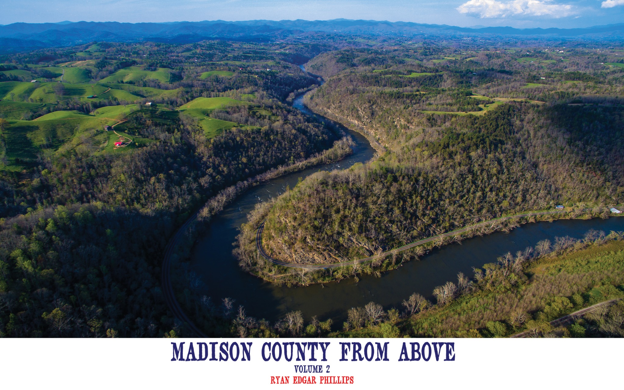
Madison County, North Carolina, seen from a perspective once reserved for birds, ridgelines, and the imagination.
In 2015, photographer and FAA-certified drone pilot Ryan Phillips began looking at his home county in a new way.
From the narrow streets of Marshall to the open ridges above Mars Hill and the river gorge at Hot Springs, Madison County From Above records a landscape shaped by water, weather, work, and memory.
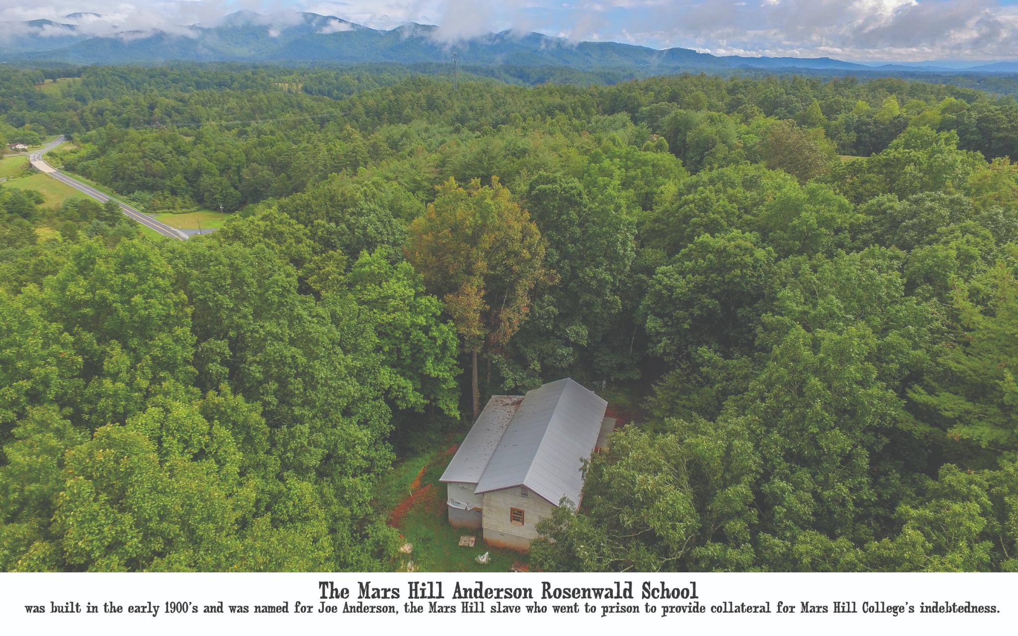
Seen together, the photographs become more than scenery. A school in the woods, a frozen county seat, old river bends, railroad cuts, and distant cliffs reveal how the county’s people and places have always belonged to one another.
The film
Follow the French Broad through mountain walls, cross the ridges, and return to the places that make Madison County unmistakably home.
From above, history does not disappear. It becomes visible in the paths people chose, the buildings they raised, the river bends they followed, and the high country that has always defined the horizon.
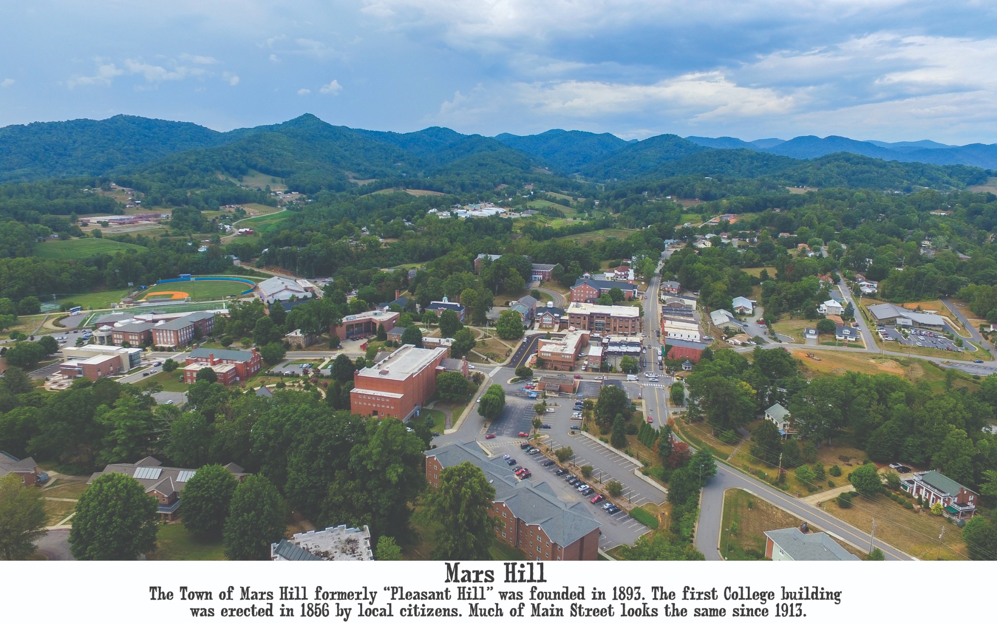
Mars Hill grew from faith in education and the labor of local people. Its story also holds harder truths, including the lives of Black residents whose contributions were too often pushed beyond the edge of the written record.
01Mars Hill
02Town & College
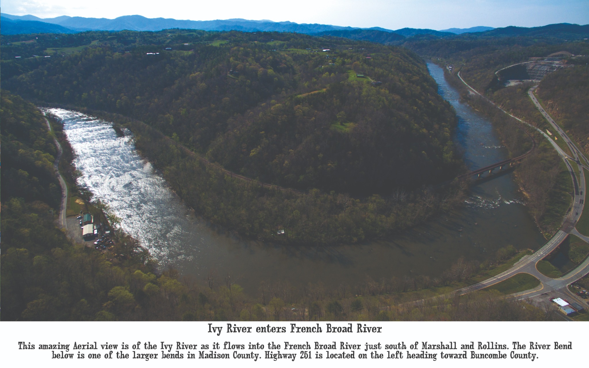
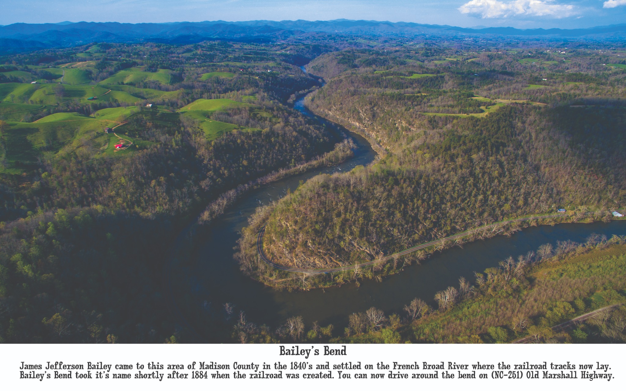
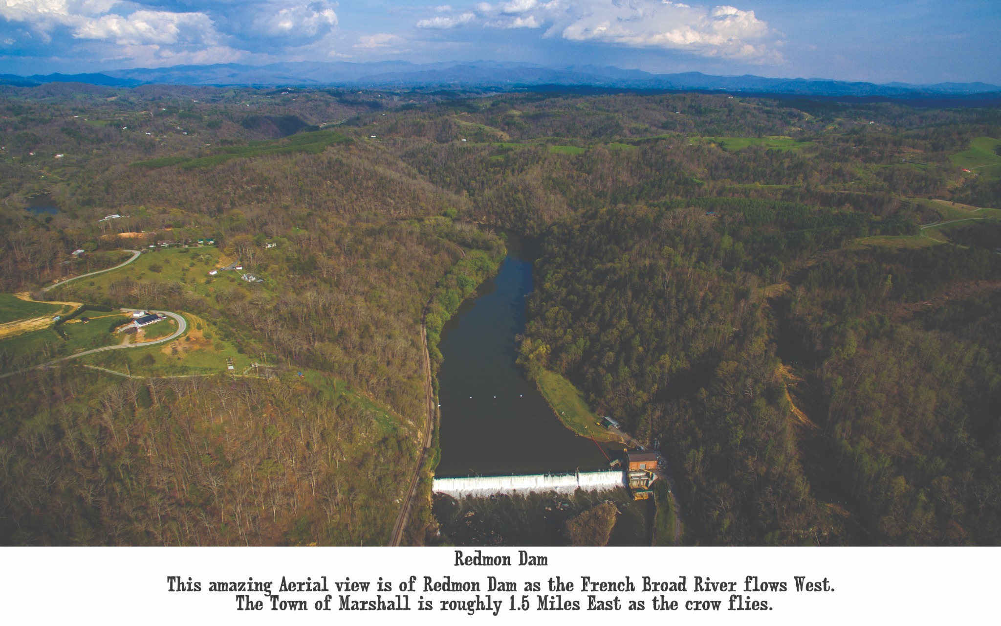
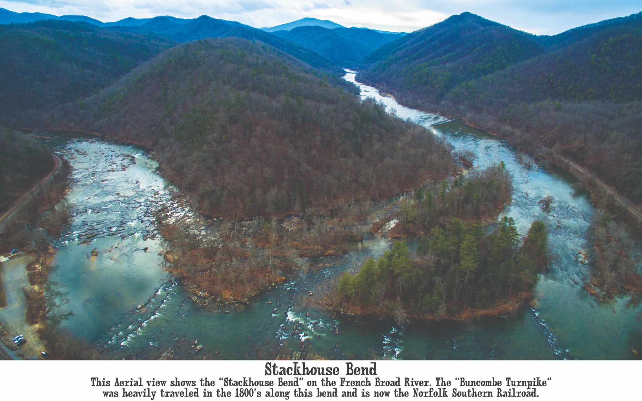
Long before paved roads crossed the county, the French Broad established the route. The turnpike, railroad, farms, settlements, and modern highway all learned to follow its bends.
03South of Marshall
04Old Marshall Highway
05West of Marshall
06Buncombe Turnpike Corridor
07Toward Hot Springs
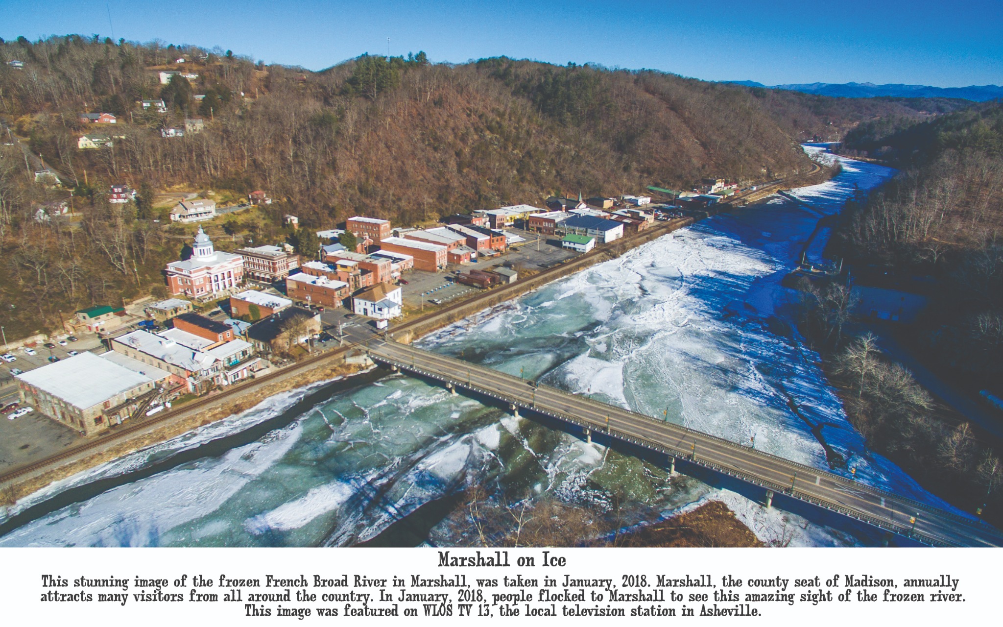
Madison County is never a fixed picture. Winter closes over the river, spring returns to the slopes, and the old ridges keep their watch above every generation.
08January 2018
09Shelton Laurel High Country
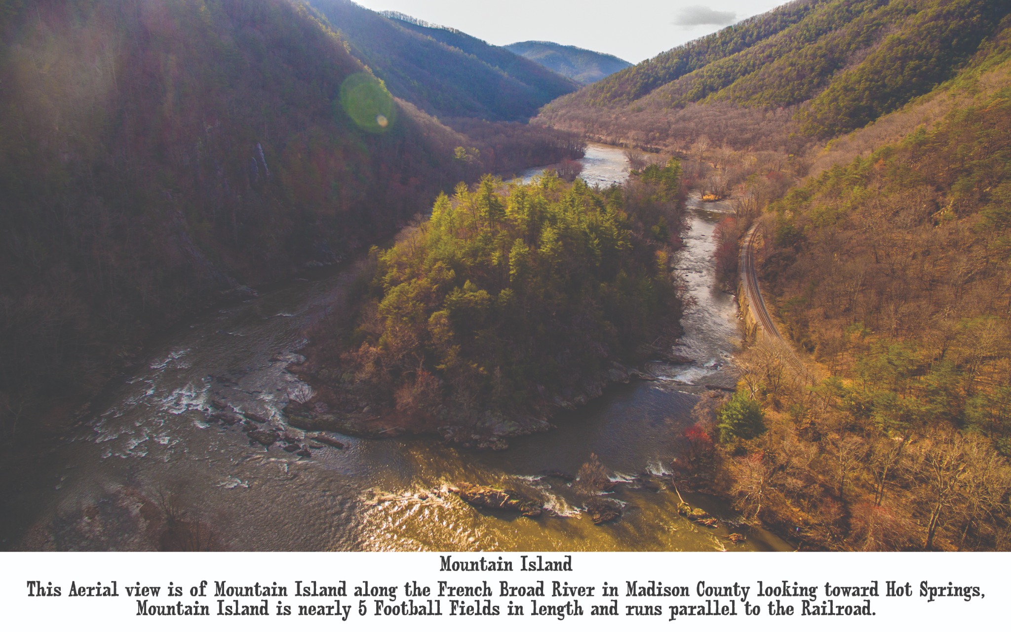
Beyond the towns and river bends, the French Broad enters the deeper gorge, passing storied landmarks on its way toward Tennessee.
01Hot Springs
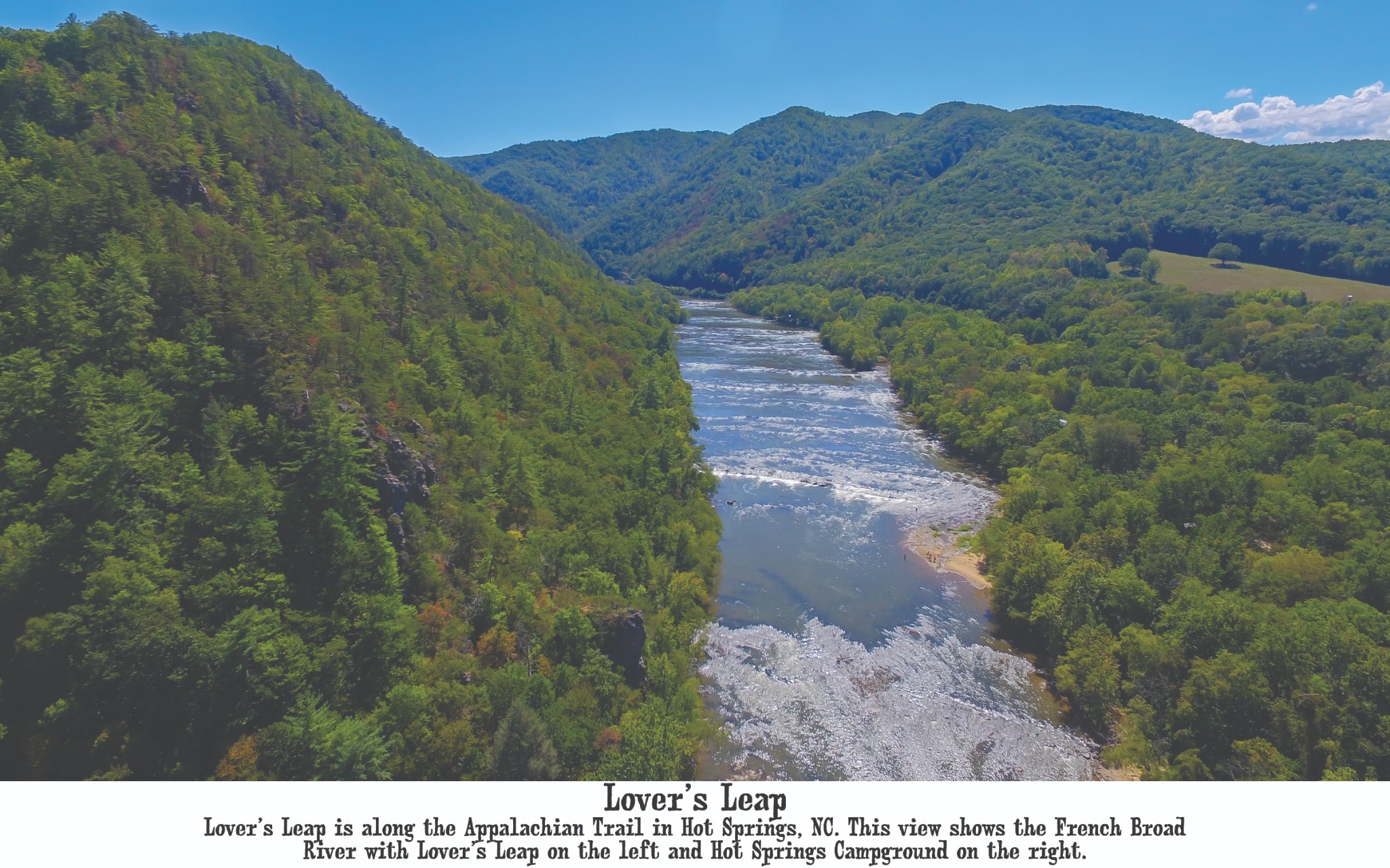
The French Broad bends below the Appalachian Trail, with Lover’s Leap rising above the water and Hot Springs beyond.
02County Seat
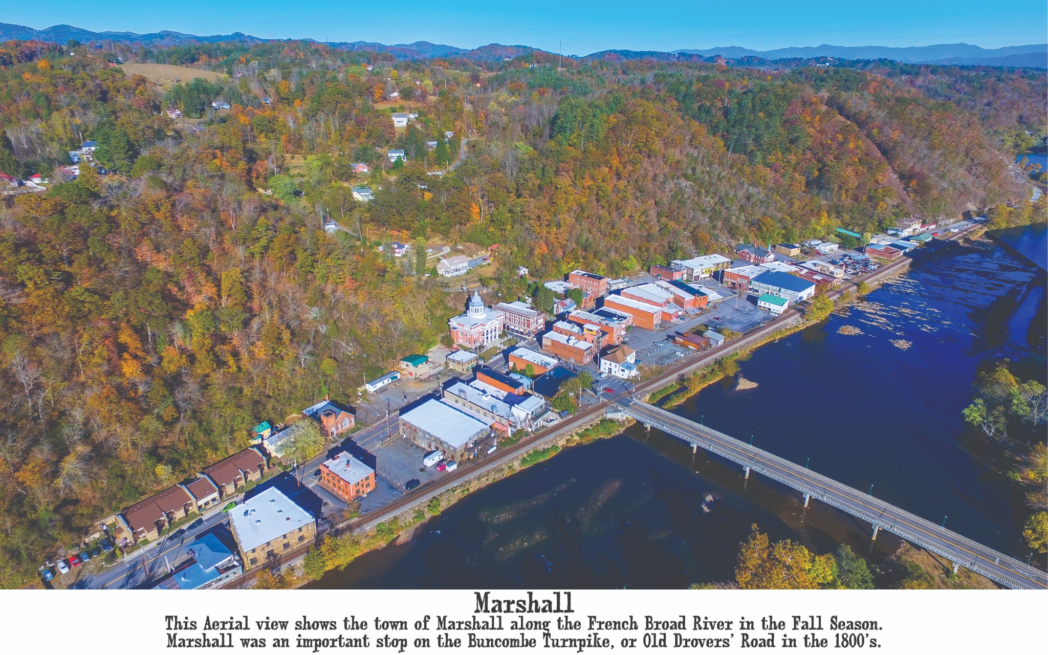
Marshall gathers tightly along the French Broad, a historic river town once shaped by the Buncombe Turnpike and the old drovers’ road.
03French Broad River
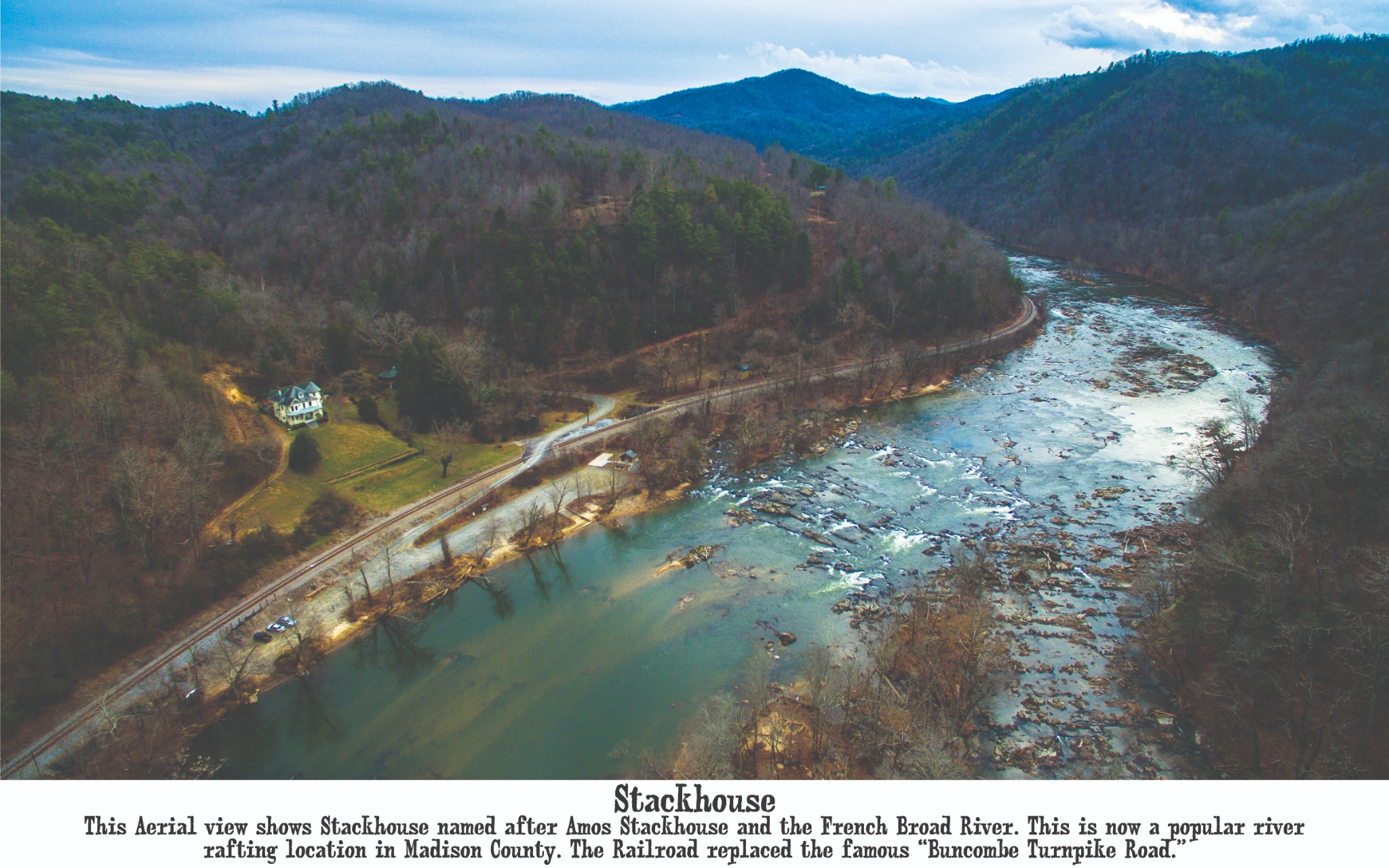
Rail, road, river, and mountains meet near Stackhouse, today one of Madison County’s familiar whitewater corridors.
04North Carolina–Tennessee Line
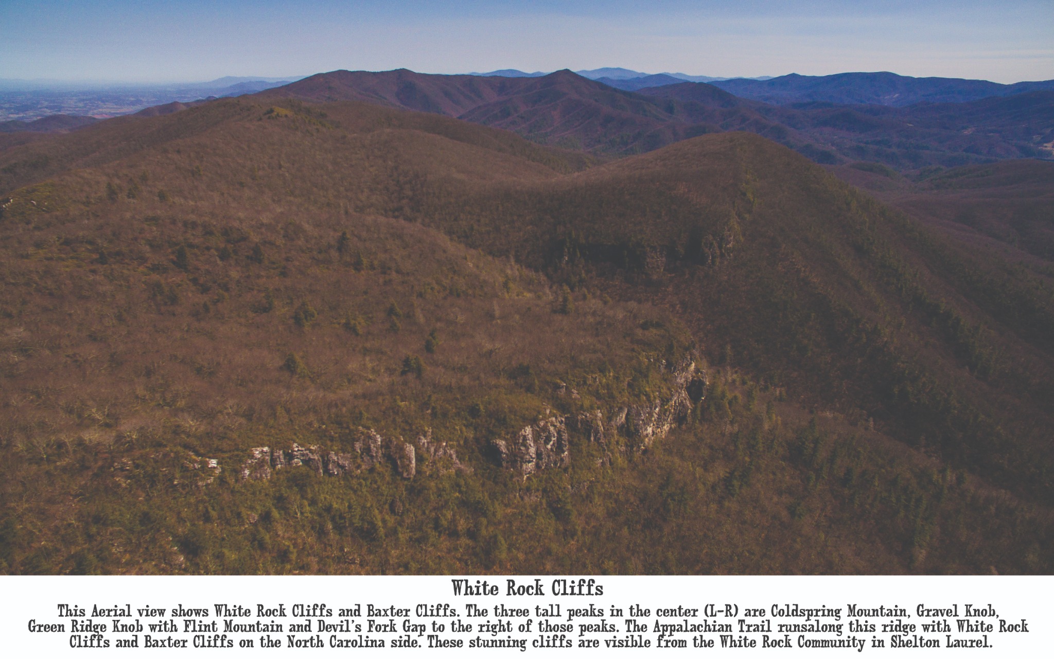
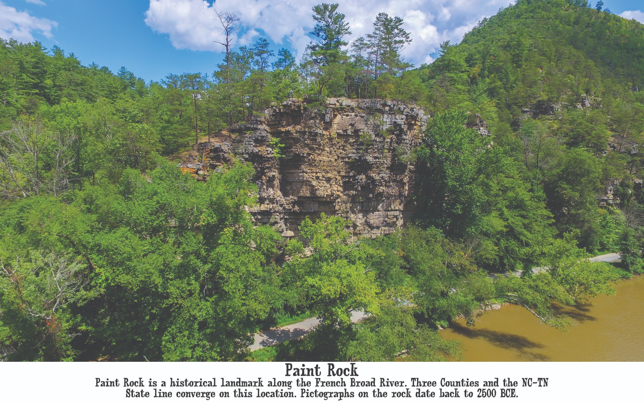
A dramatic rock face above the river marks one of the county’s oldest and most storied landscapes near the state line.
05Looking Toward Marshall
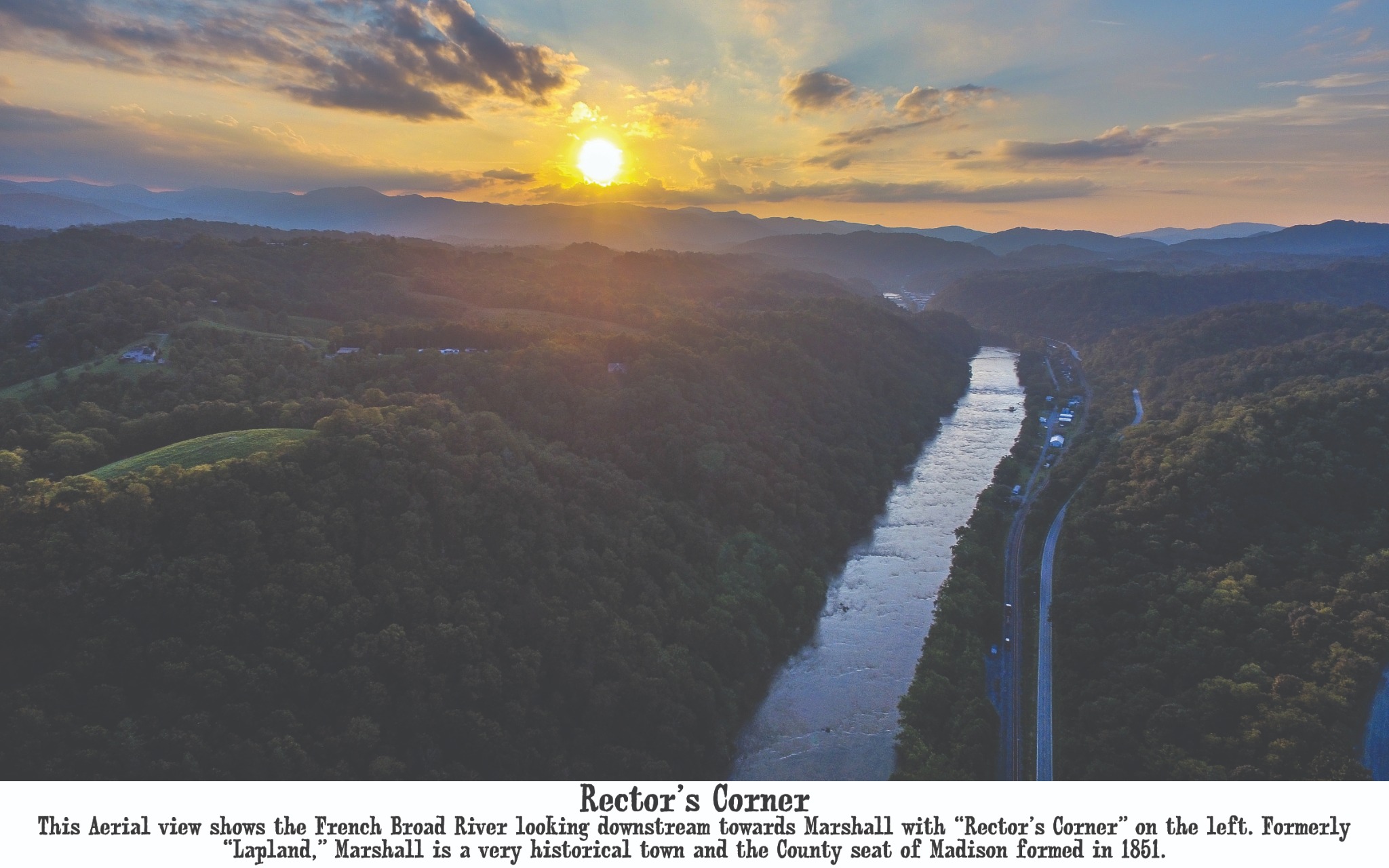
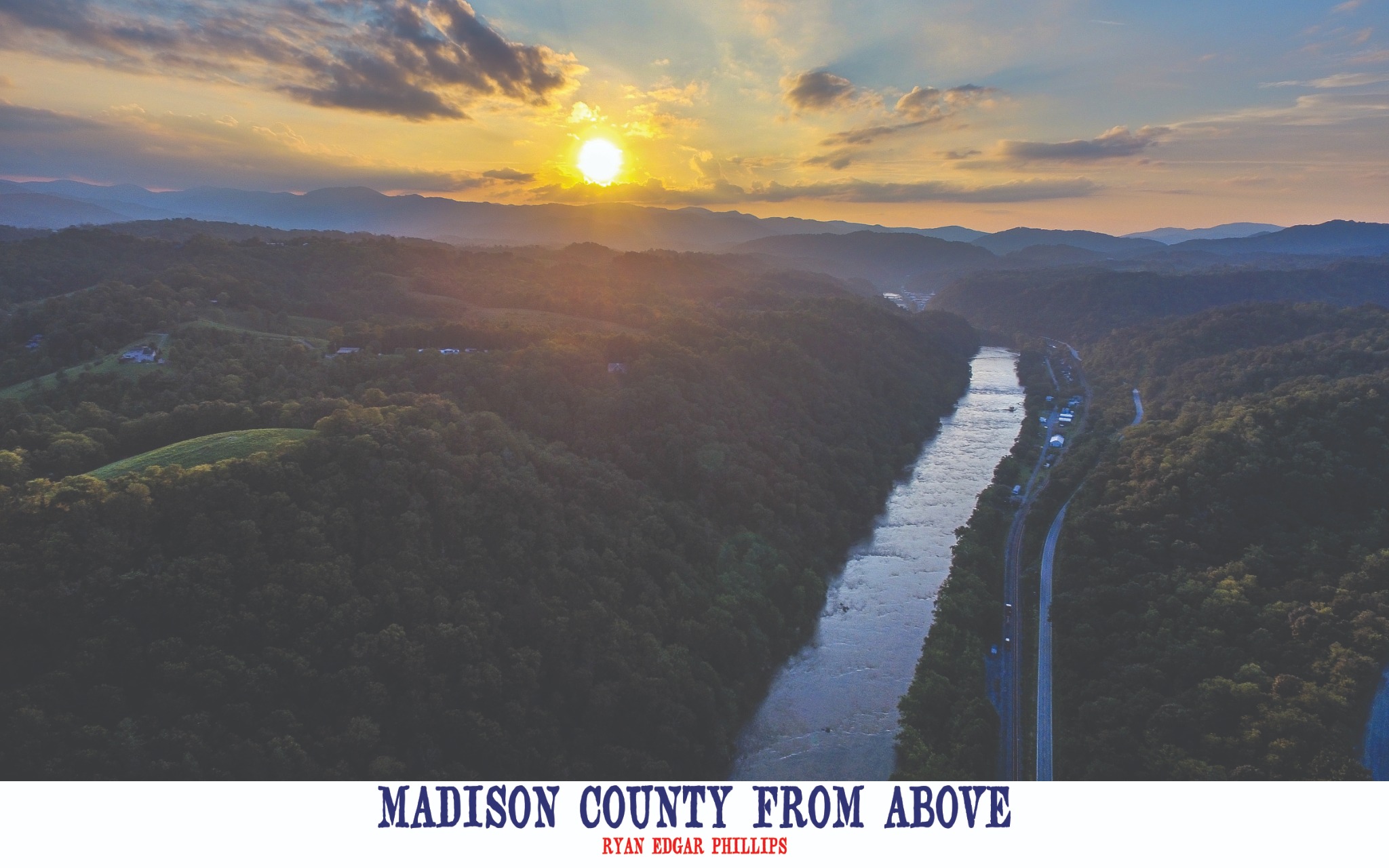
Late light follows the French Broad downstream through Rector’s Corner, once known as Lapland, toward the county seat.
“Sometimes you have to leave the ground
to understand the place you call home.”
Madison County From Above
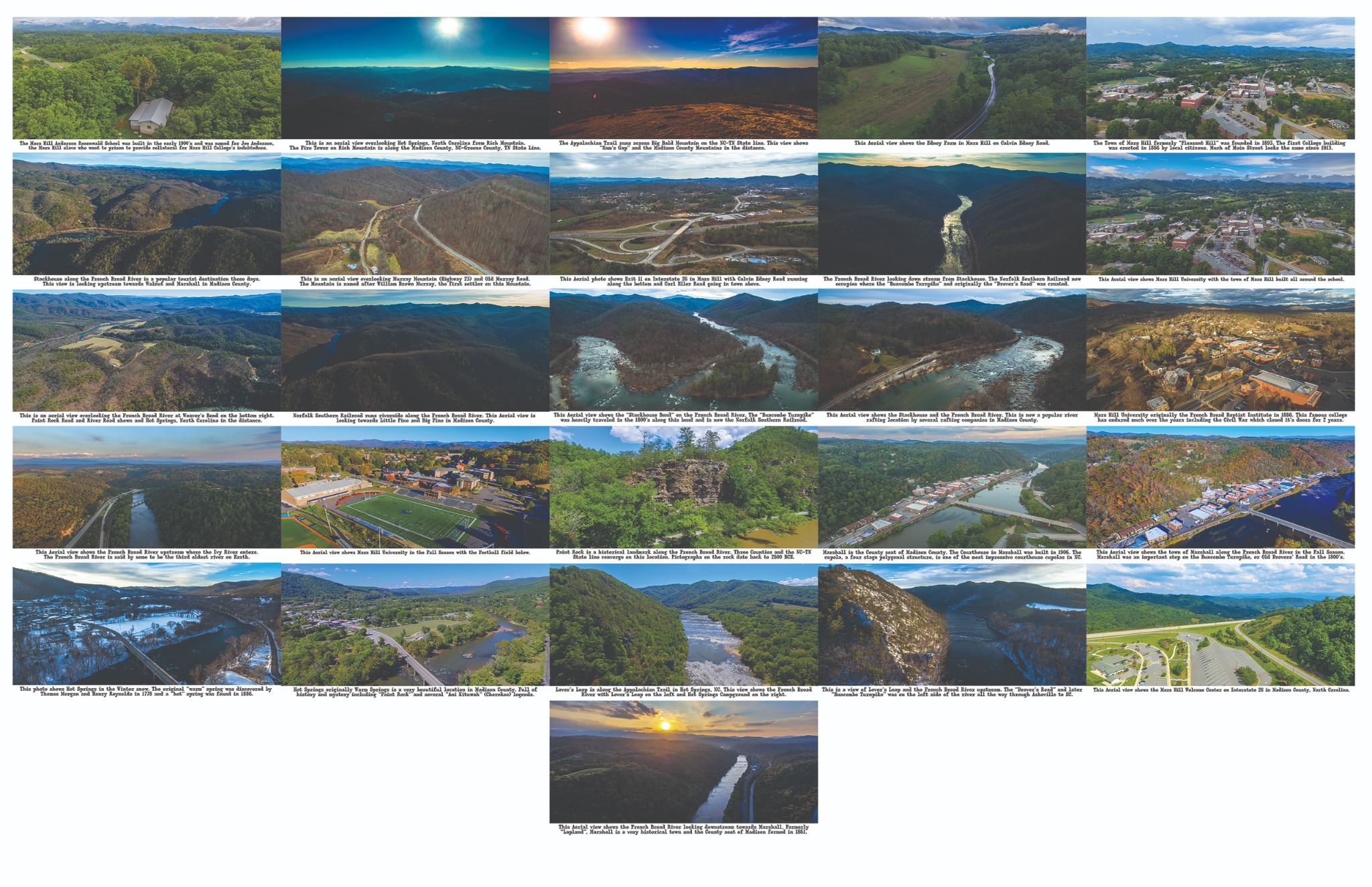
Madison County From Above, Volumes 1 and 2, preserve an expanding aerial record of the county’s rivers, mountains, communities, and historic landmarks. Together, the books reveal a landscape shaped by generations and seen from an unforgettable perspective.
Open on Amazon ↗Volume 1
Inside Volume 1 View the complete image collection ↗
Open on Amazon ↗Volume 2
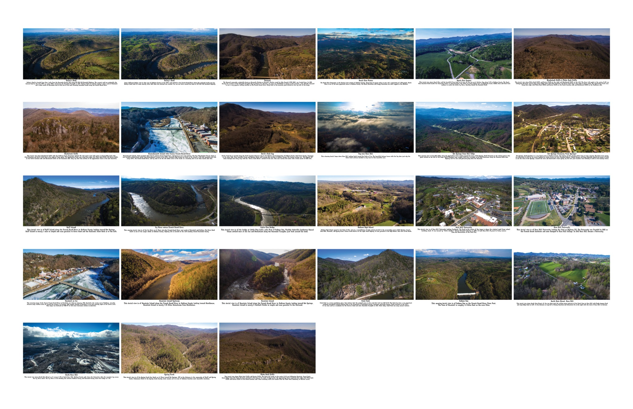
Inside Volume 2 View the complete image collection ↗Aerial photography & film
Professional photography, aerial imaging, video, and visual storytelling across Western North Carolina and East Tennessee.